Web GIS Automation with ArcGIS API for Python
Manage, automate, and scale your ArcGIS Online and ArcGIS Enterprise environments programmatically using Esri's official Python library — ArcGIS API for Python. This learning path covers portal/organization administration (users, groups, content), publishing Hosted Feature Layers, spatial analysis (arcgis.features), raster and Imagery Layer operations (arcgis.raster), programmatic creation of Web Maps and Dashboards, and automation via Notebooks and scheduled tasks. You'll complete a real enterprise scenario (e.g. "A daily ETL pipeline pulling open data and updating an ArcGIS Online Feature Layer and Dashboard automatically") and add a tangible output to your portfolio. The ideal technical deep-dive for analysts and developers familiar with ArcGIS Pro who want to manage the Esri ecosystem through code.
Contents
Final Quiz
ArcGIS API for Python — Final Exam
Passing score: %70 · 30 minutes
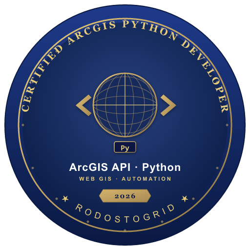
Completion Badge
Certified ArcGIS Python Developer
Awarded by RodostoGrid to learners who successfully complete the "Web GIS Automation with ArcGIS API for Python" learning path. Holders of this badge have demonstrated competency in connecting to ArcGIS Online and Enterprise programmatically, managing portal users/groups/content, publishing Hosted Feature Layers from CSV/Pandas, executing server-side spatial analyses (find_hot_spots, create_buffers), working with Imagery Layers and dynamic raster functions, programmatically generating Web Maps and Dashboards, and orchestrating automation through Notebook Server and scheduled tasks. Earned by passing the final exam with a minimum score of 70% and completing the open-data-to-Dashboard ETL pipeline capstone project.
Automatically awarded when you complete this path.
Sign up and track your progress
Track completed contents, earn badges, and reach your learning goals.