Home Content Learning Paths Glossary Forum
TR EN
Log In Sign Up

Software Development

ArcGIS SDK, ArcPy, Python, .NET and GIS-integrated software development.

8 contents found

ArcGIS Enterprise Portal Management and Customization
Article 19 min

ArcGIS Enterprise Portal Management and Customization

ArcGIS Enterprise Portal serves as the central management hub for enterprise GIS infrastructure. Maps, layers, applications, and tools are shared through this portal, access rights are managed, and organizational workflows are orchestrated. However, manually managing hundreds of users, thousands of content items, and dozens of groups in large-scale enterprise environments is not sustainable. This is where the Portal REST API and ArcGIS API for Python come into play. The Portal REST API enables you to programmatically perform all portal operations through /sharing/rest endpoints. Every operation from adding, updating, and deleting items to group management, user assignments, and OAuth client configuration can be automated through this API. The ArcGIS API for Python wraps these REST endpoints in a high-level interface that accelerates the development process. In this article, we will explore all dimensions of ArcGIS Enterprise Portal management: REST API endpoint architecture, item and user management, federated server configuration, security policies, and cross-portal content migration. We will also share production-ready Python scripts for portal inventory extraction and health checks.
Pro Apr 07, 2026
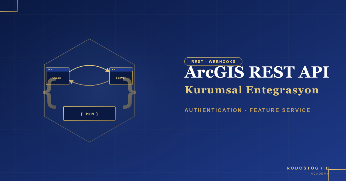
Enterprise Integration with ArcGIS REST API — Authentication, Feature Service and Webhooks
Article 15 min

Enterprise Integration with ArcGIS REST API — Authentication, Feature Service and Webhooks

ArcGIS REST API is a powerful and flexible interface that enables enterprise applications to integrate with spatial data infrastructure. OAuth 2.0 authentication flows, CRUD operations on Feature Services, and event-driven Webhook architecture are fundamental components of modern enterprise systems.In this article, we cover all critical topics in depth — from endpoint structure and token management to batch operations, attachment handling, and Webhook receiver implementation. We provide practical solutions with real-world integration scenarios from Laravel and Node.js backends.

Pro Apr 06, 2026
GeoAI with ArcGIS API for Python — Remote Sensing and Object Detection
Article 12 min

GeoAI with ArcGIS API for Python — Remote Sensing and Object Detection

Geographic Artificial Intelligence (GeoAI) is an interdisciplinary field that combines deep learning models with spatial analysis processes to extract meaningful information from remote sensing data. The arcgis.learn module of ArcGIS API for Python has become an industry-standard toolkit in this domain.In this article, we will explore advanced applications such as building detection from satellite imagery, land cover classification, and change analysis using model architectures like SingleShotDetector, RetinaNet, MaskRCNN, and UnetClassifier. We will build a production-ready GeoAI workflow from GPU/CUDA configuration to model performance metrics.

Pro Apr 05, 2026
Enterprise Geoprocessing Automation with ArcPy
Article 21 min

Enterprise Geoprocessing Automation with ArcPy

In enterprise GIS infrastructures, repetitive geoprocessing operations must be automated without requiring manual intervention. ArcPy, as ArcGIS Pro's Python API, provides the ability to programmatically control all GIS workflows from data transformation to analysis, map production to service publishing. This article comprehensively covers high-performance cursor techniques of the arcpy.da module, batch processing patterns, custom Python Toolbox (.pyt) development, and enterprise error management strategies. By the end of this article, you will be able to build a complete ETL pipeline that transforms municipal GIS data from Shapefiles to Geodatabase, applies validation rules, and publishes results as Feature Services.

Pro Apr 04, 2026
Performance Optimization and Large Data Visualization in ArcGIS Maps SDK
Article 12 min

Performance Optimization and Large Data Visualization in ArcGIS Maps SDK

Performant visualization of large spatial datasets on web maps is one of the most critical engineering problems in modern GIS applications. Rendering a layer containing over 100,000 features in the browser demands a carefully crafted optimization strategy. This article provides an in-depth examination of FeatureReduction (clustering and binning), heatmap renderer, tiling strategies, client-side filtering, and WebGL optimizations offered by ArcGIS Maps SDK for JavaScript. Each technique is supported with real code examples and performance metrics. By the end of this article, you will be able to build an application architecture that renders 100K+ point data within milliseconds, responds swiftly to user interaction, and minimizes memory consumption.

Pro Apr 03, 2026
ArcGIS Maps SDK 3D Web Applications — SceneView, Mesh, and 3D Analysis
Article 11 min

ArcGIS Maps SDK 3D Web Applications — SceneView, Mesh, and 3D Analysis

The ArcGIS Maps SDK for JavaScript provides high-performance 3D geographic visualization and analysis capabilities within the web browser. SceneView, powered by its WebGL-based rendering engine, can fluidly display millions of 3D objects and respond to spatial questions through real-time analysis tools. In this article, we will deeply examine the fundamental differences between SceneView and MapView, 3D layer types (SceneLayer, IntegratedMeshLayer, BuildingSceneLayer), extrusion techniques, and 3D analysis tools (ViewshedAnalysis, LineOfSightAnalysis, SliceAnalysis). Through an urban planning scenario, we will explore advanced applications such as building height analysis and shadow simulation with real code examples.

Pro Apr 02, 2026
Custom Widget Development with ArcGIS Maps SDK for JavaScript
Article 12 min

Custom Widget Development with ArcGIS Maps SDK for JavaScript

The ArcGIS Maps SDK for JavaScript provides a powerful widget architecture that enables you to add custom user interface components to your mapping applications. This architecture is built on TypeScript decorators, reactive state management, and JSX-based render methods. In this article, we will deeply examine the widget lifecycle, explore Calcite Design System integration, and develop a real-world Parcel Query Widget as a practical example. We will comprehensively cover state management with ReactiveUtils, Feature Service querying with QueryTask, and displaying results in a DataGrid. Throughout the article, production-quality code examples will be provided, and widget integration into applications along with deployment processes will be detailed.

Pro Apr 01, 2026
Building Web GIS Applications: ArcGIS API for JavaScript
Article 4 min

Building Web GIS Applications: ArcGIS API for JavaScript

Web-based GIS applications make geographic information accessible to everyone through the browser. They allow users to view maps, run queries, and perform analysis without installing desktop GIS software. ArcGIS API for JavaScript is Esri's powerful and comprehensive library for developing web mapping applications. ArcGIS API for JavaScript offers 2D and 3D map views, rich symbology, popups, widgets, spatial analysis, and integration with ArcGIS Online/Enterprise services. With modern JavaScript (ES modules), TypeScript support, and compatibility with frameworks like React, Angular, and Vue, it is the standard choice for enterprise web GIS projects. In this article, we will cover the fundamentals of ArcGIS API for JavaScript, building a simple web map, adding layers, and configuring popups step by step. With working code examples, you can start developing your own web GIS application.

Free Mar 19, 2026