Geoprocessing Workflows with Model Builder
Model Builder is a powerful environment in ArcGIS Pro that allows you to create automated workflows by visually connecting geoprocessing tools. Without writing code, you can design, save, and rerun complex analysis processes using drag-and-drop. This feature is particularly advantageous for GIS analysts with limited programming experience.
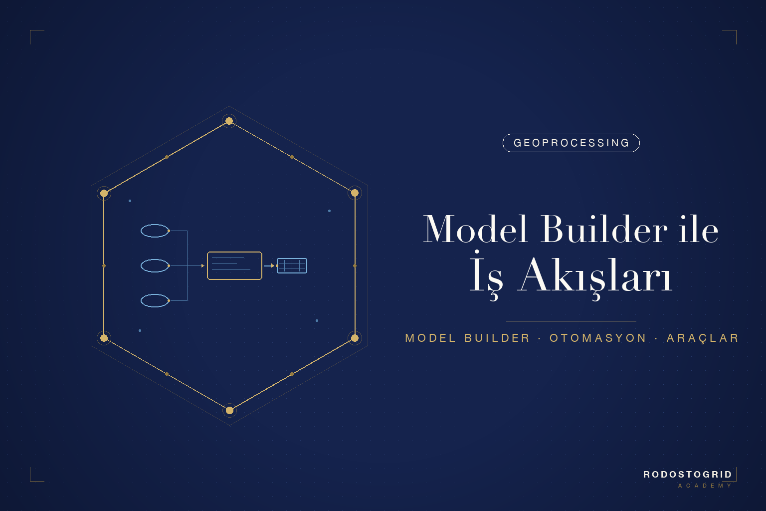
A Model Builder model is a flowchart consisting of input data, geoprocessing tools, and outputs. Tools are connected through parameter links, and the output of one tool becomes the input for the next. Models can be enriched with variables, conditional branching, and iterators, enabling you to automate repetitive operations.
In this article, we will cover Model Builder's core concepts, build a site suitability analysis model step by step, and explore techniques for converting models to Python scripts.
Become a member to continue reading
Sign up for free — access 3 full contents per month. Check our affordable plans for unlimited access.